
Analysis of Lake Fred Through Calculus Methods and Data Visualization
Research Conducted by: Rocco Mancuso, Mohammed Mowla, Serena Su, Lana Vo
Advised by: Dr. Chia-Lin Wu
Introduction
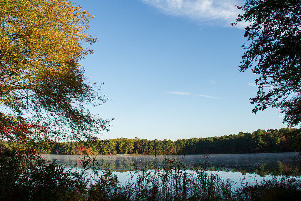
Lake Fred has long been a landmark fixture at Stockton University. This man-made lake was established between the 1860s-1870s as a cranberry bog. Over time, the lake was repurposed and used by the Sawmill Corporation and eventually, in 1957, log cabins were constructed along the shore and used as office buildings. In 1971, Stockton State College acquired the land, and today, Lake Fred is a significant symbol of Stockton University. Despite its history, little is known about the actual area of the lake. The last study of Lake Fred’s area was conducted by Dr. Claude Epstein in 1981, who estimated the lake’s area to be approximately 37 acres or 149,734 square meters.
Our research aims to enhance the accuracy of Lake Fred’s historical area measurements using Calculus II and III techniques, specifically Riemann Integration and Green’s Theorem. In addition, we used a cubic splines to aid modeling the lake’s perimeter. In collaboration with the data provided by the Marine Science Club, the study extended to mapping the bottom terrain of the lakebed and creating a 3D model of the lake using Delaunay Triangulation. The primary goal of this project is to provide a current and precise measurement of Lake Fred’s area, which can be compared with historical data to track any changes in the lake’s size.
More details on our methods and results can be found below:
General Information
Methods and Results for Area Calculations
- Presentation - Discovering Lake Fred: a Journey Through Advanced Calculus
- Poster - Measuring Lake Fred Using Calculus and Data Visualization
3D Modeling with Delaunay Triangulation
- Website - 3D Lake Fred!
- Presentation - Visualizing Lake Fred
This page was last updated August 27th, 2024.